


Geology Site Account
A-Z Geological Site Index
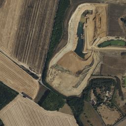
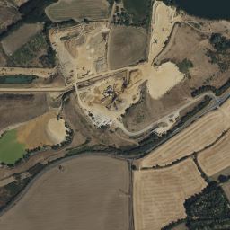
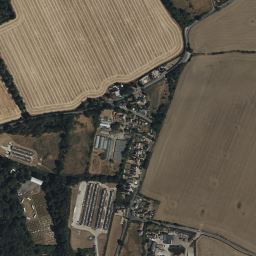
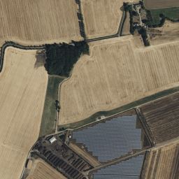
Birch Gravel quarry, BIRCH, Colchester District, TL928193, General geological site
|
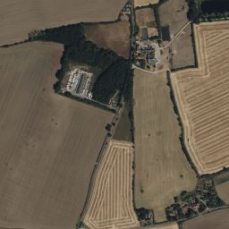
Site category: Thames (pre-diversion) Site name: Birch Gravel Quarry Grid reference: TL 928 193 Brief description of site: Birch Quarry is a working gravel quarry with exposures of Kesgrave (Thames) Sands and Gravels overlain by a small thickness of boulder clay (till). The site is situated at what was the southern edge of the Anglian Ice Sheet. ---------------------------------------- Details Birch gravel pit is working the Kesgrave Sands and Gravels (Kesgrave Formation) which were laid down during the early Ice Age by the River Thames when it flowed through north Essex and Suffolk and out across what is now the southern North Sea to become a tributary of the Rhine. The gravel is mostly of flint but also contains exotic pebbles of rocks from far upstream, some of which are ignimbrite (a volcanic rock) from North Wales. Above the Kesgrave Formation is a thickness of boulder clay, or till, which was laid down on top of these gravels about 450,000 years ago by an ice sheet during the Anglian glaciation, the most severe cold period of the whole of the Ice Age (Allen 1999). Birch is situated at the maximum southerly limit of the Anglian ice sheet. Although not noticeable from the road a long undulating ridge of glacial sand and gravel, about 5 metres above the general level of the landscape, trending north-south from Beckingham Hall to Brakes Farm, has been interpreted as a terminal moraine of the ice sheet (Ellison & Lake (1986). Access to the quarry is only available with permission from the quarry operators but there are frequent open days when the public are invited to view the workings.
|
if you have an image please upload it
|

Reference: Allen 1999, Ellison & Lake 1986 (p. 28)
Geology Site Map
A-Z Geological Site Index